


Information Signs
Information signs inform of the location of built-up areas and other objects, as well as of the established or recommended traffic regimes.
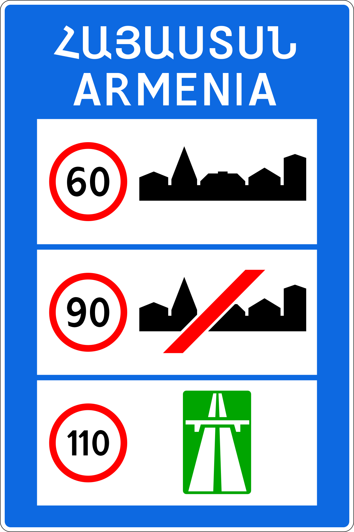
6.1. "General speed limit"
the general speed limit established by the Rules.
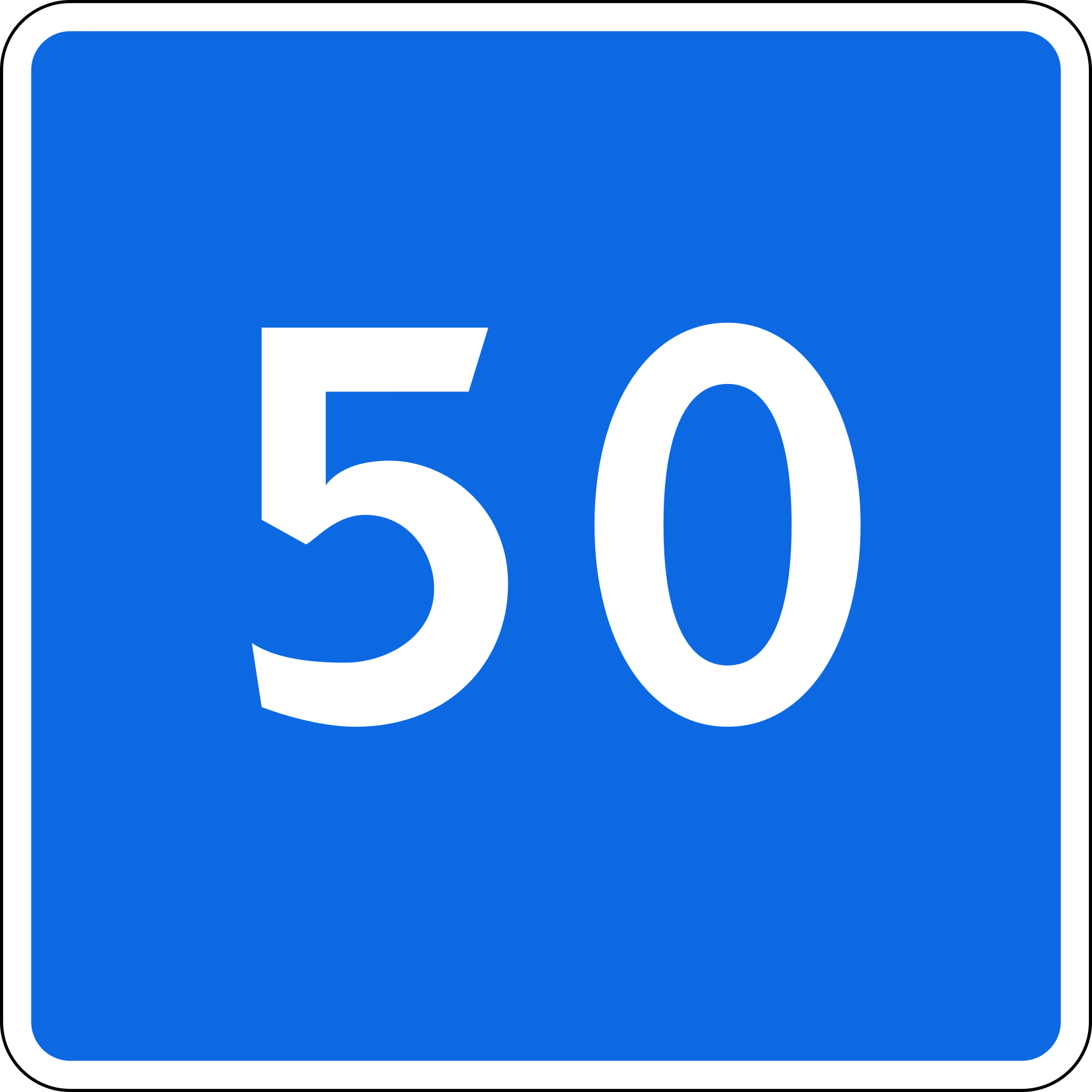
6.2. "Recommended speed"
the preferred speed for travelling on the given section of road. The zone of effect of the sign extends to the nearest intersection; however, when the sign is used together with a warning sign, its zone of effect is determined by the length of the hazardous section.
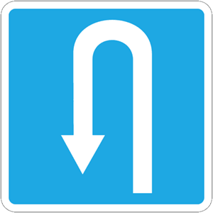
6.3.1. "U-turn point"
a left turn is prohibited;
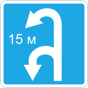
6.3.2. "U-turn lane"
the length of the lane for performing a U-turn. A left turn is prohibited;
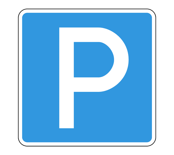
6.4. "Parking place"
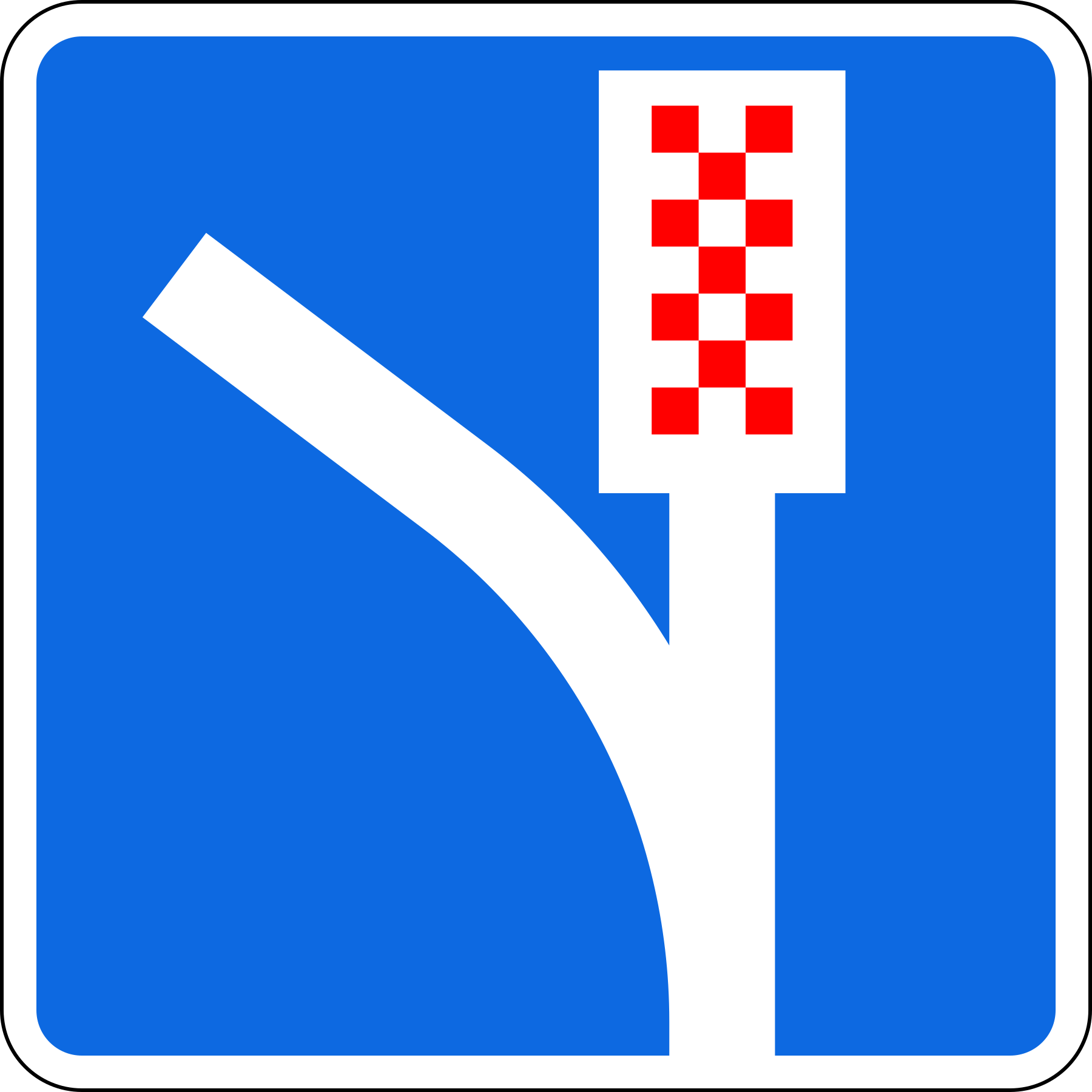
6.5. "Emergency stopping area"
an emergency stop zone on a steep descent;
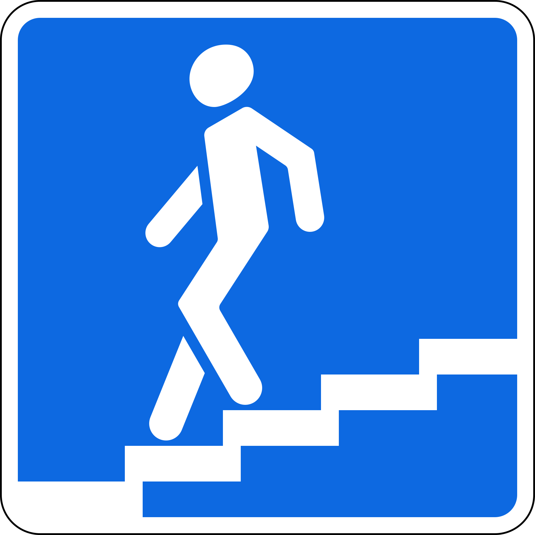
6.6. "Pedestrian underpass"
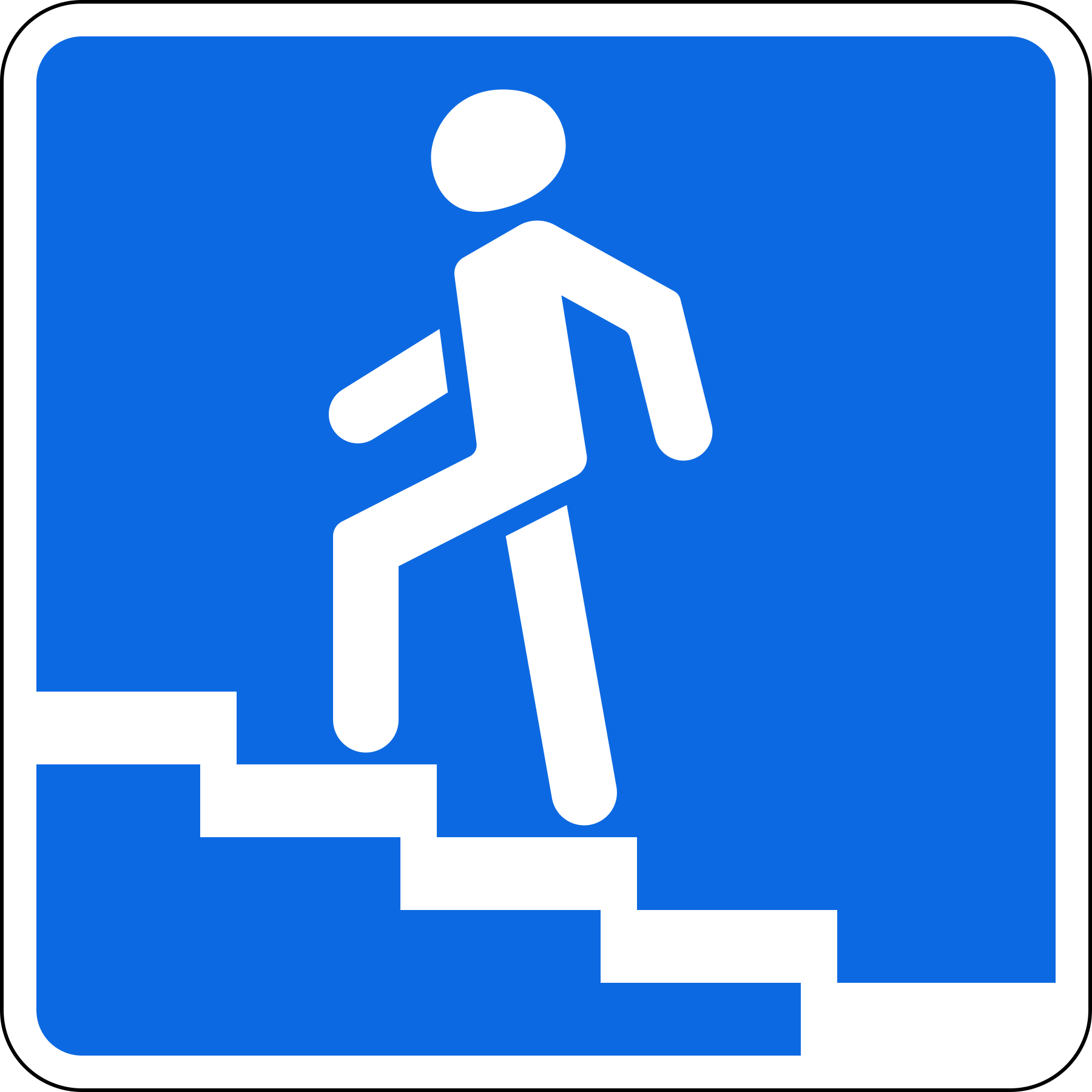
6.7. "Pedestrian overpass"
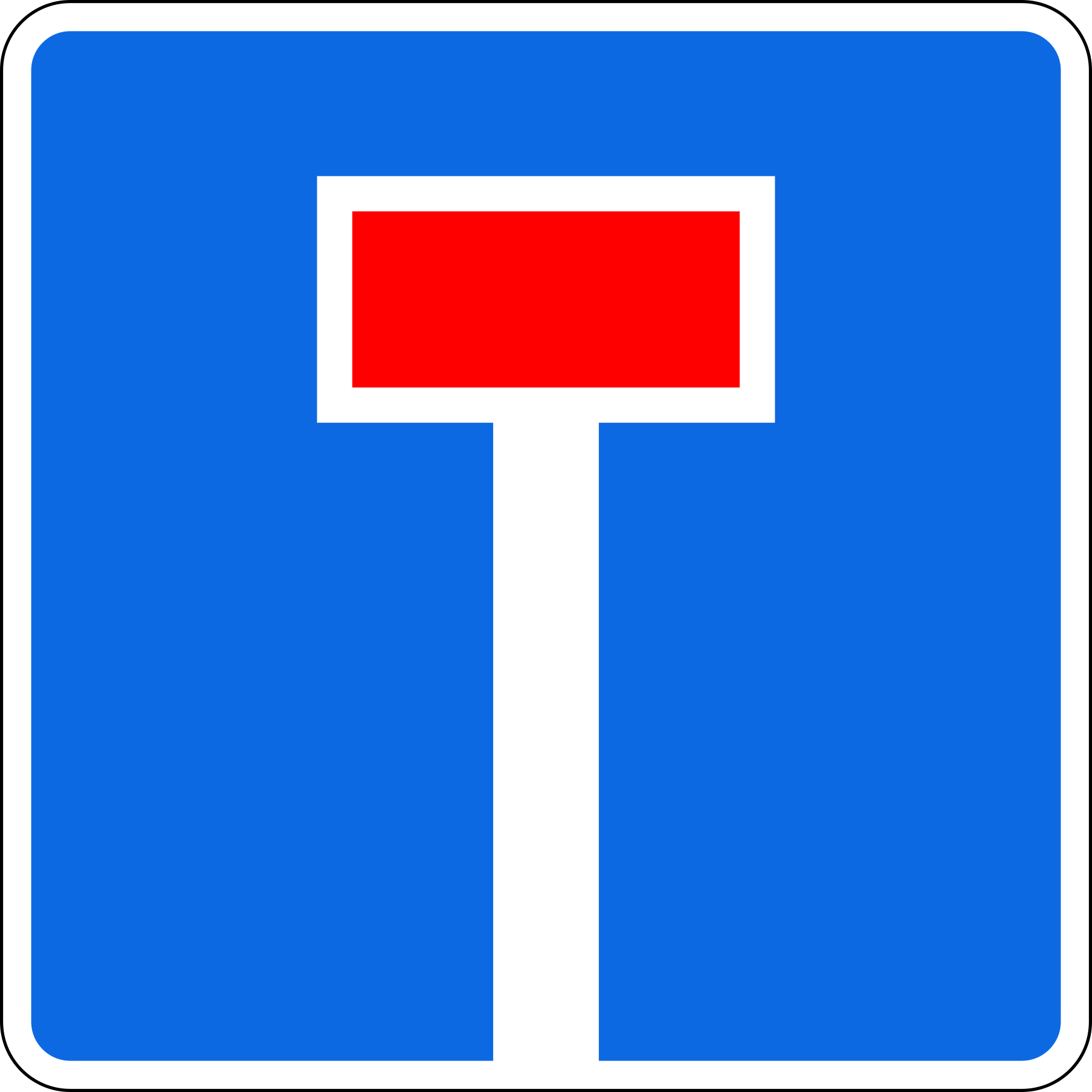
6.8.1. "Dead end"
a road with no through passage;
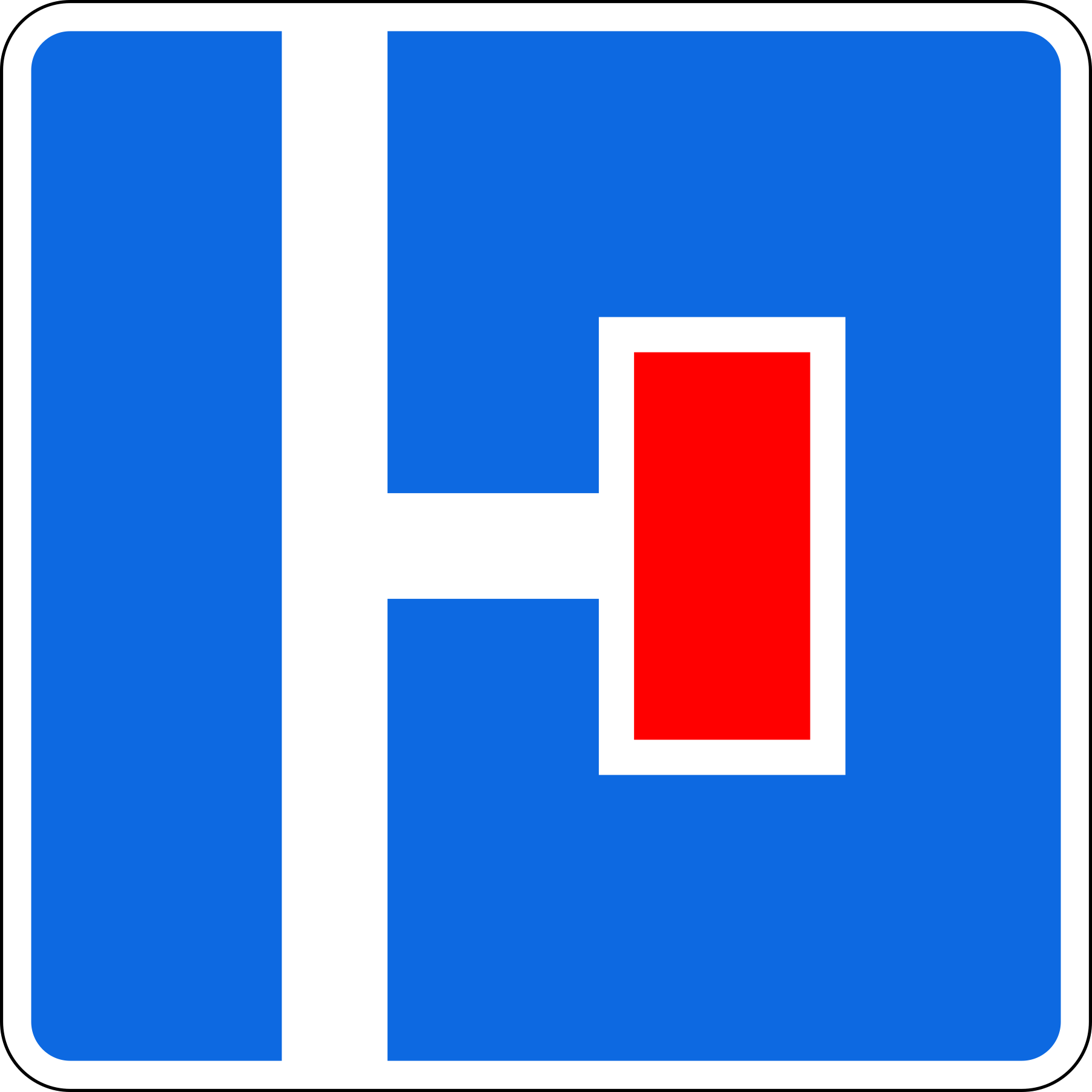
6.8.2. "Dead end"
a road with no through passage.
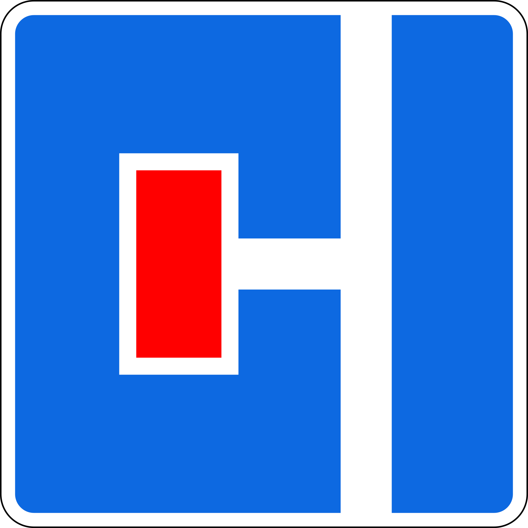
6.8.3. "Dead end"
a road with no through passage.
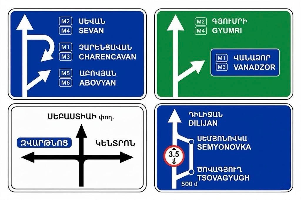
6.9.1. "Advance direction sign"
Directions of movement to the built-up areas and other objects indicated on the sign.
On these signs the image of sign 6.14.1, the symbols of the motorway, airport and other pictograms may be depicted.
On sign 6.9.1, images of other signs informing of the particular features of traffic may be depicted.
Signs with a blue background are placed on roads outside built-up areas.
Signs with a green background are placed on motorways.
Signs with a white background are placed on roads in built-up areas.
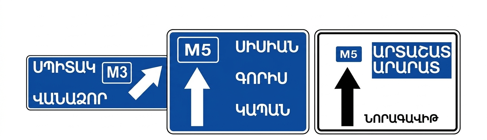
6.9.2. "Advance direction sign"
Directions of movement to the built-up areas and other objects indicated on the sign.
On these signs the image of sign 6.14.1 may be depicted.
Signs with a blue background are placed on roads outside built-up areas.
Signs with a white background are placed on roads in built-up areas.
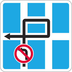
6.9.3. "Traffic scheme"
directions to the built-up areas and other destinations indicated on the sign. The sign may display sign 6.14.1, motorway and airport symbols, and other pictograms.
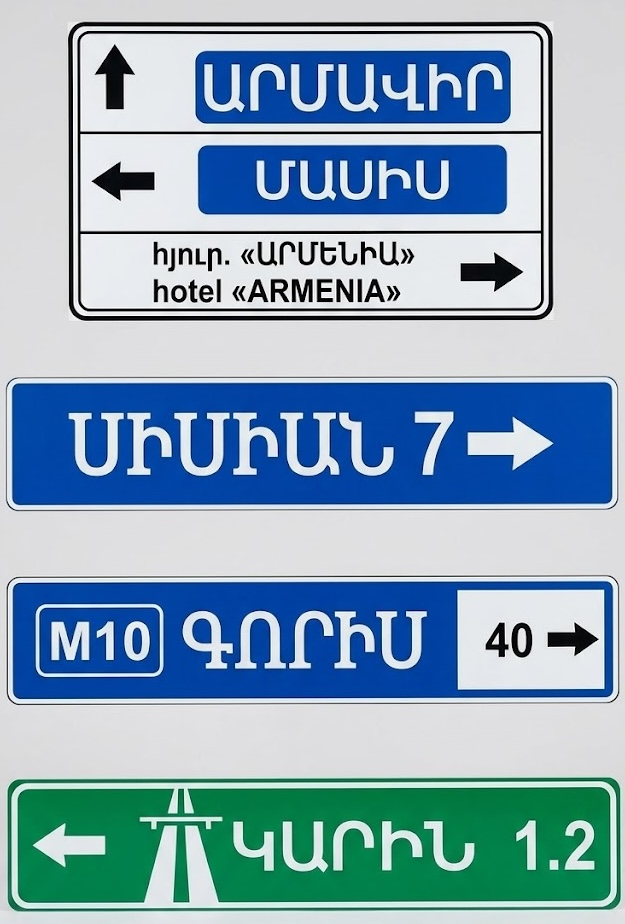
6.10.1. "Direction sign"
Directions of movement to the route points. On the sign, the distances (km) to those objects may be indicated, and symbols of the motorway, airport and other pictograms may be depicted.
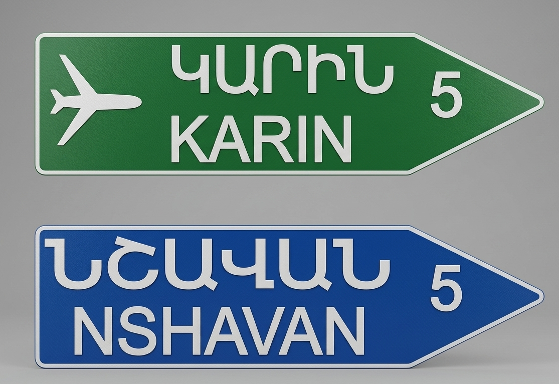
6.10.2. "Direction sign"
Directions of movement to the route points. On the sign, the distances (km) to those objects may be indicated, and symbols of the motorway, airport and other pictograms may be depicted.
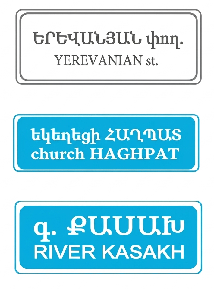
6.11. "Object name"
The name of an object other than a built-up area (a river, lake, mountain pass, place of interest, etc.).
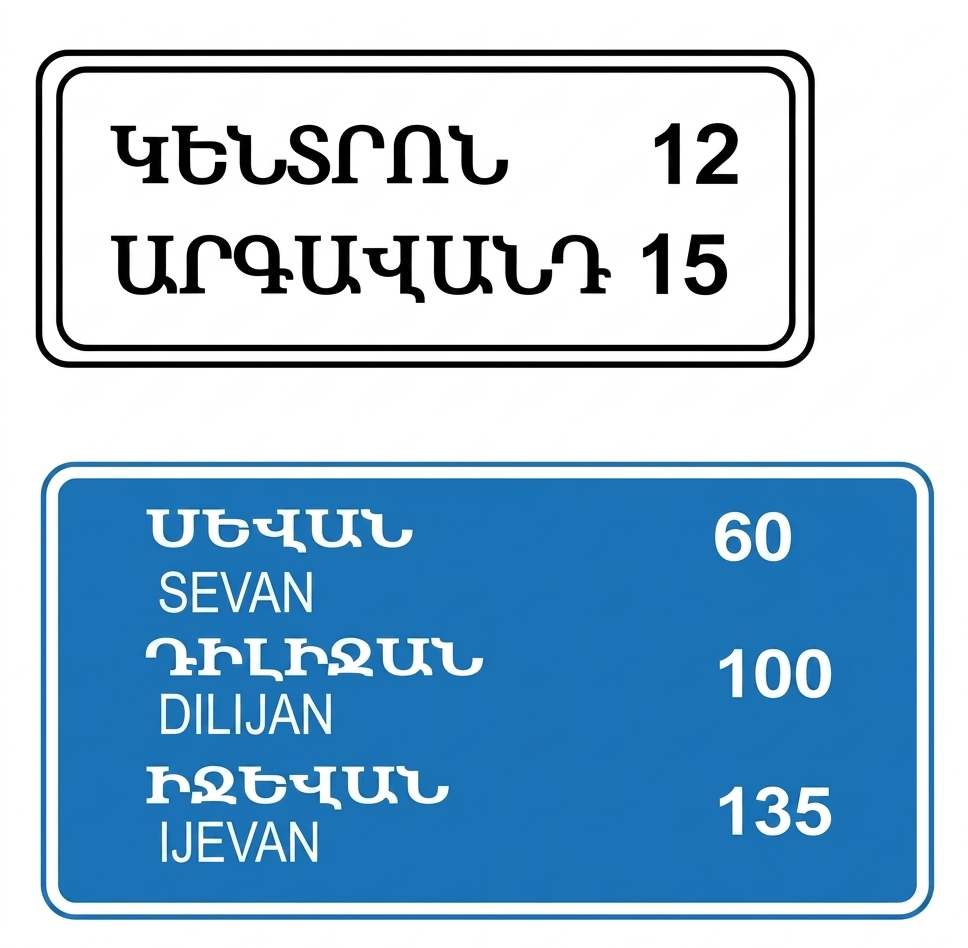
6.12. "Distance indicator"
The distance (km) to the built-up areas located on the route.
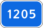
6.13. "Kilometer marker"
the distance (km) to the start or end of the road;
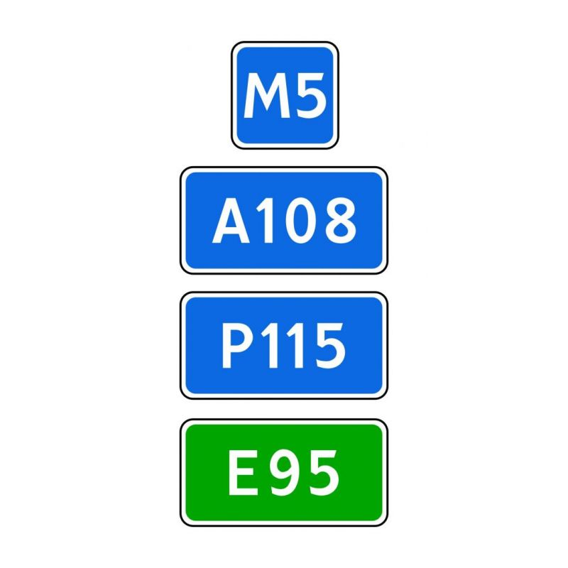
6.14.1. "Route number"
the number assigned to the road (route)
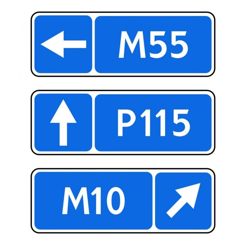
6.14.2. "Route number"
the number and direction of the road (route);

6.15.1. "Direction of movement for trucks"
Recommends drivers of trucks, tractors and self-propelled machines to proceed straight ahead if their movement is prohibited in any direction at the intersection.

6.15.2. "Direction of movement for trucks"
Recommends drivers of trucks, tractors and self-propelled machines to proceed to the right if their movement is prohibited in any direction at the intersection.

6.15.3. "Direction of movement for trucks"
Recommends drivers of trucks, tractors and self-propelled machines to proceed to the left if their movement is prohibited in any direction at the intersection.
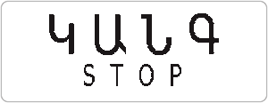
6.16. "Stop line"
the location where vehicles must stop on a prohibiting signal of the traffic light (or traffic controller);
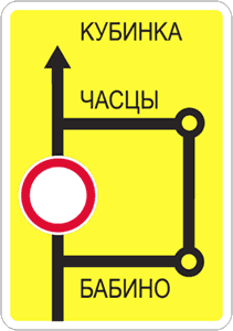
6.17. "Detour diagram"
the detour route around a section of road temporarily closed to traffic;
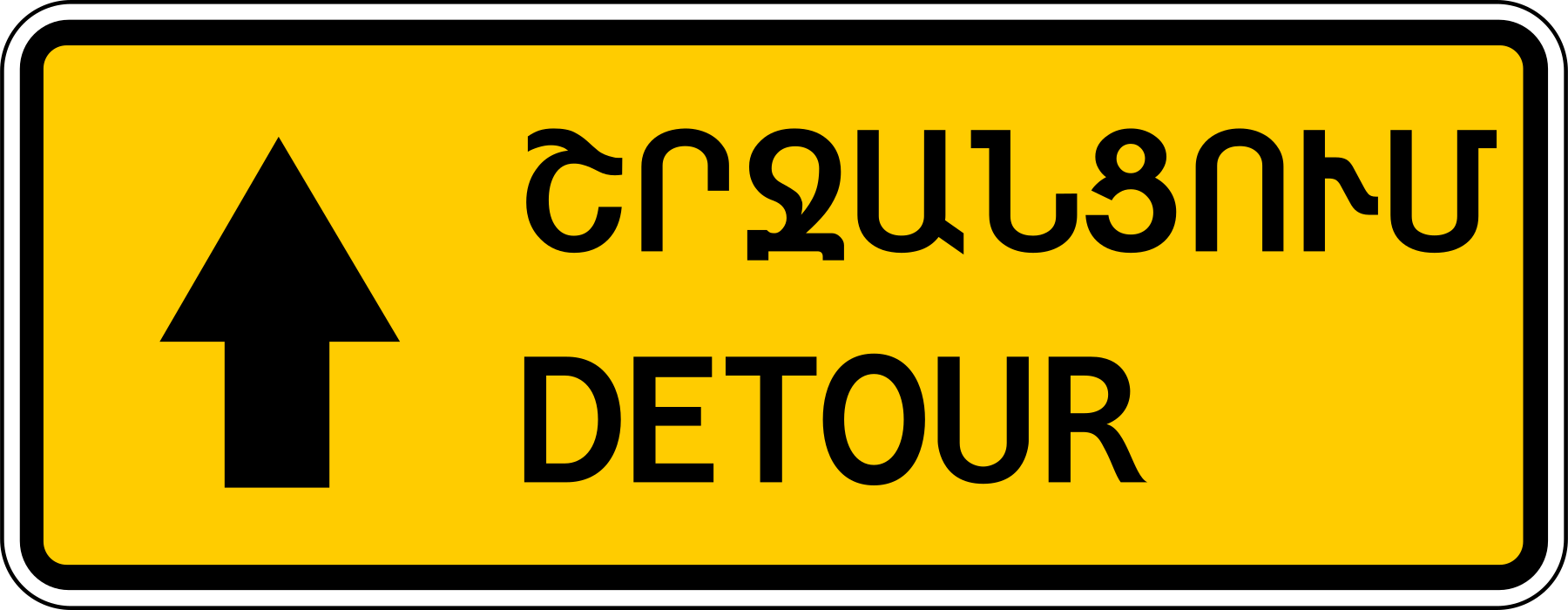
6.18.1. "Detour direction"
To detour around a section of road temporarily closed to traffic, continue straight ahead.
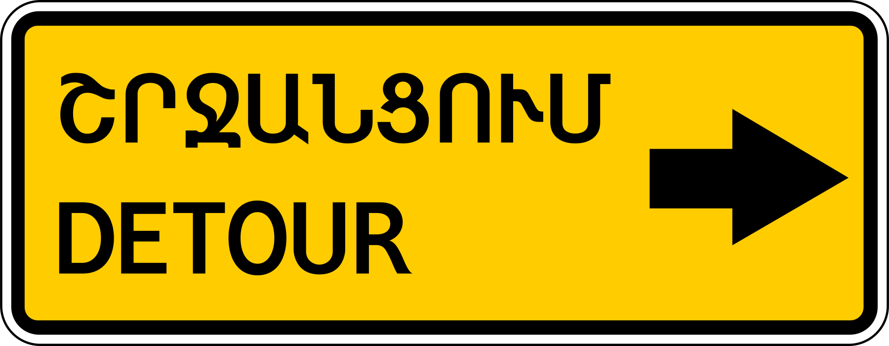
6.18.2. "Detour direction"
To detour around a section of road temporarily closed to traffic, turn right.
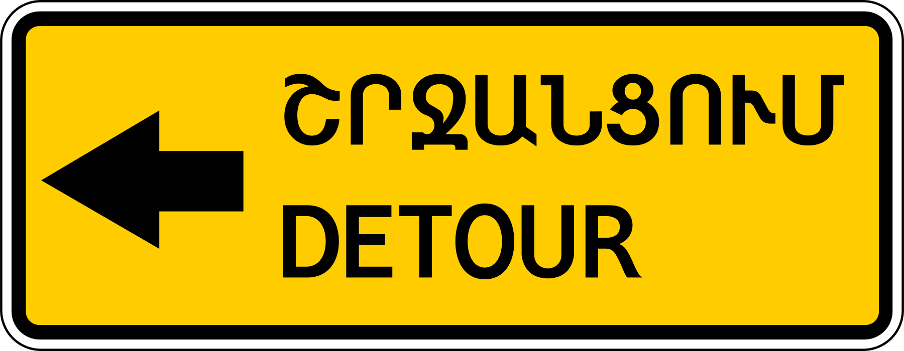
6.18.3. "Detour direction"
To detour around a section of road temporarily closed to traffic, turn left.
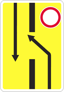
6.19.1. "Advance sign for changing to another carriageway"
Detour around the closed-to-traffic section of a road with a median strip by changing to the oncoming carriageway.
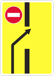
6.19.2. "Advance sign for changing to another carriageway"
At the end of the detour around the closed-to-traffic section of a road with a median strip, change to the right-hand carriageway.
For signs 6.9.1, 6.9.2, 6.10.1 and 6.10.2 installed outside a built-up area, a green or blue background means that the route to the indicated built-up area or destination follows, respectively, a motorway or another road.
For signs 6.9.1, 6.9.2, 6.10.1 and 6.10.2 installed within a built-up area, a green or blue inset means that, after leaving that built-up area, the route to the indicated built-up area or destination will follow, respectively, a motorway or another road; a white background means that the indicated destination is located within the current built-up area.
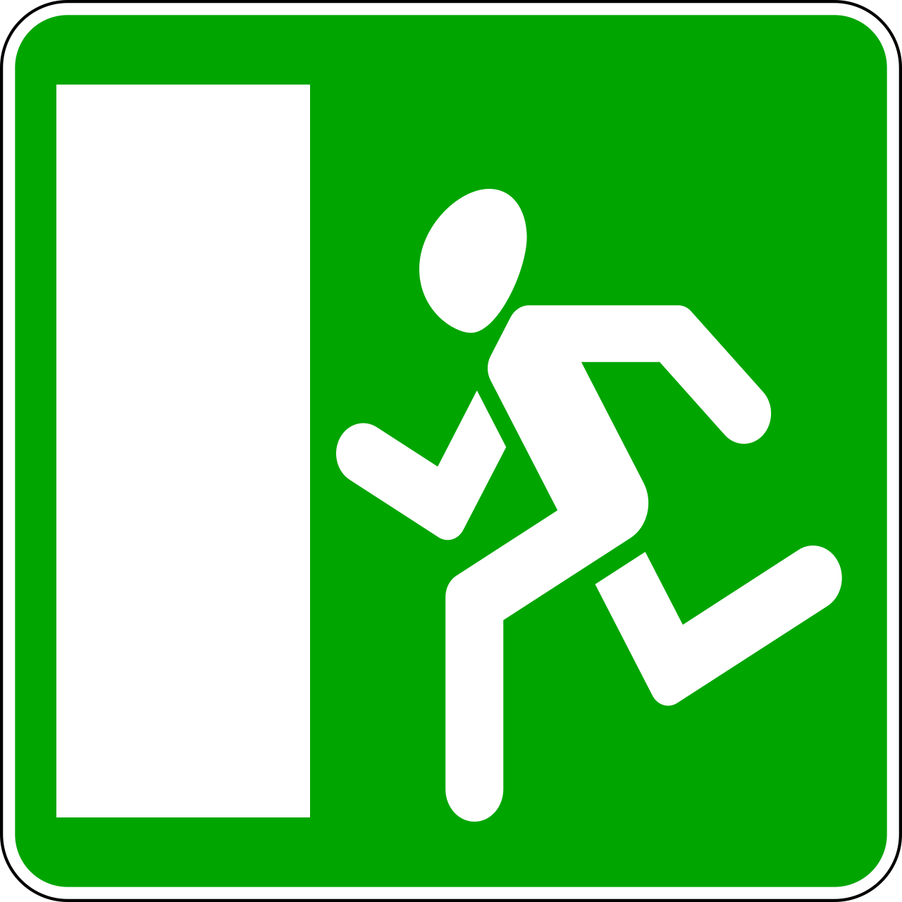
6.20.1. "Emergency exit"
indicates the location of an emergency exit in a tunnel.
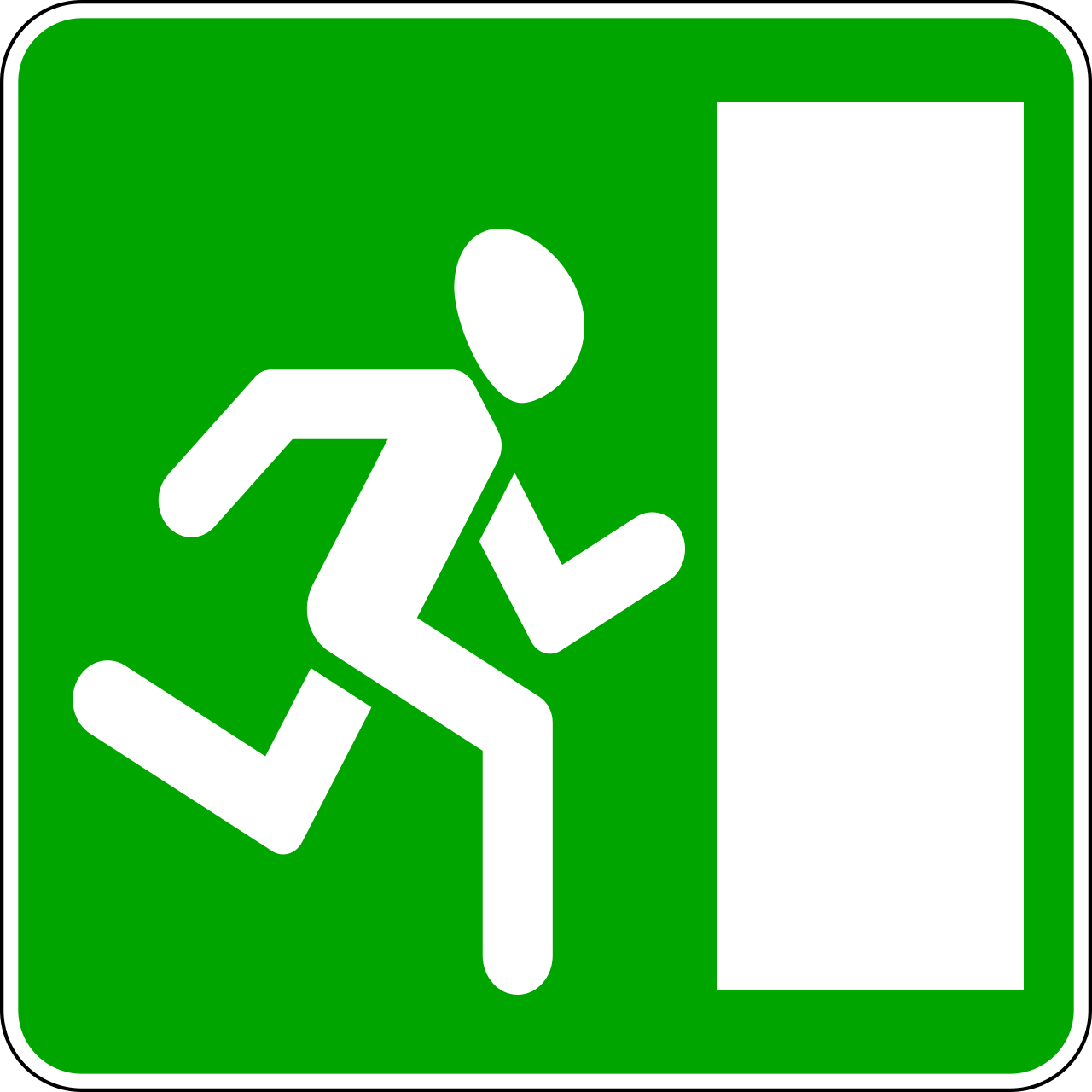
6.20.2. "Emergency exit"
indicates the location of an emergency exit in a tunnel.
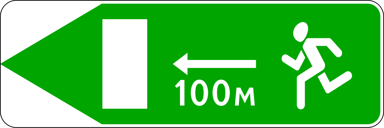
6.21.1. "Direction to an emergency exit"
indicates the direction to an emergency exit and the distance to it.
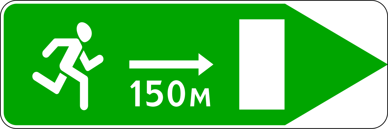
6.21.2. "Direction to an emergency exit"
indicates the direction to an emergency exit and the distance to it.